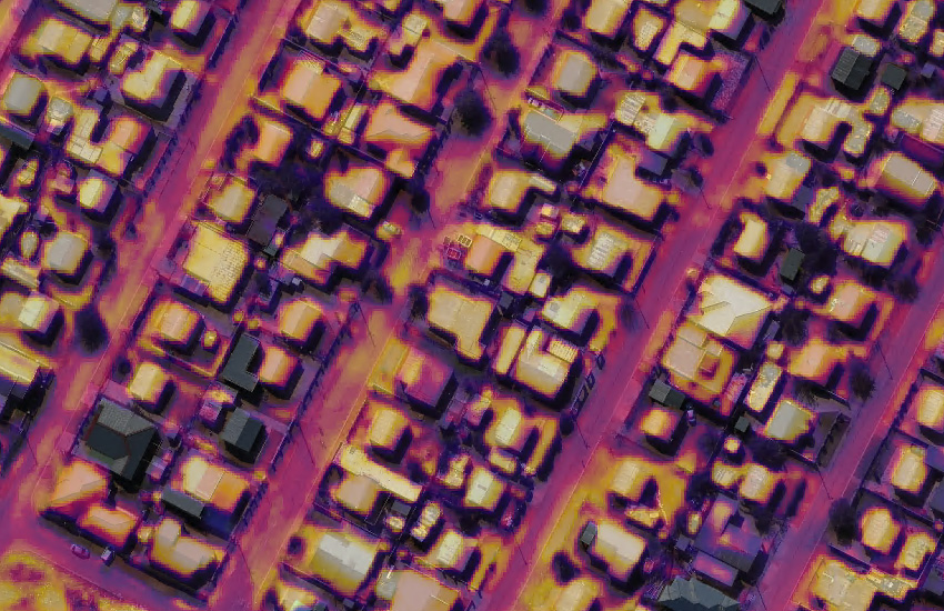
Multi-band Survey of Ikageng, South Africa
03 July 2017
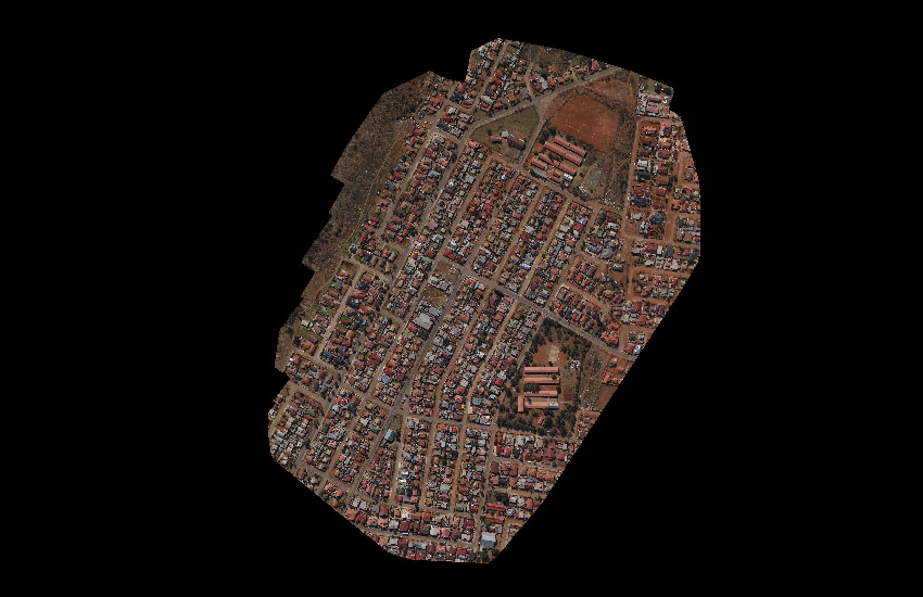
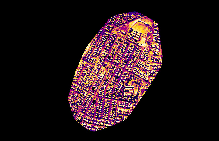
A very quick RGB/NIR/Thermal survey of part of the town of Potchefstroom in South Africa.
Capture
|
Camera Model
Aircraft
Date Flown
Plan Type
Plan Resolution
Plan Overlap
Survey Duration
Area Covered
Calculated SQKM/Hour
|
XCAM B (RGB/NIR/Thermal R)
Maule M5
24th May 2017
Track
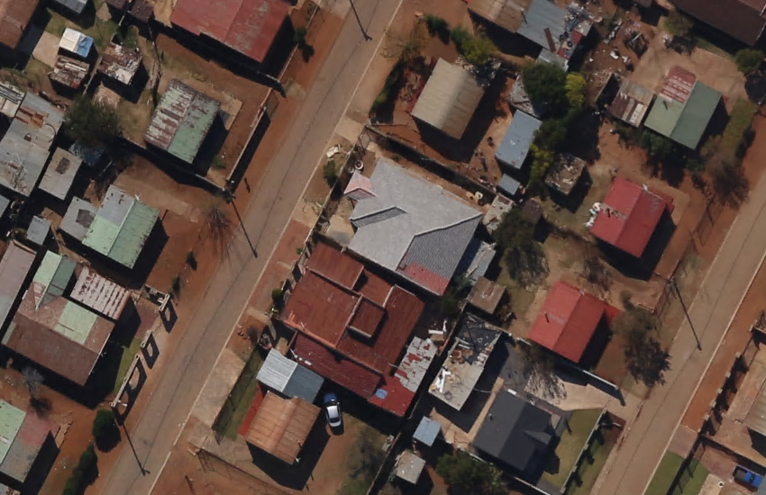
7cm RGB/NIR and 49cm Thermal
65% forward / 80% side
3m 40s
0.50 square kilometres
8.18
|
|
Processing
This circular project was processed in Skyline Photomesh using 5 networked computers (Intel i7 4785T, 16GB RAM, 460GB SSD). They were 'fused' together to do the Photo Preparation, Aerotriangulation, Tile Build and Product Output. Ground Control Points (GCPs) were used as they were available for this project area.
Processing took approximately 2 hours.
Product Showcase
Data Download
86 Raw Images
Raw Data
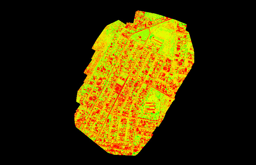
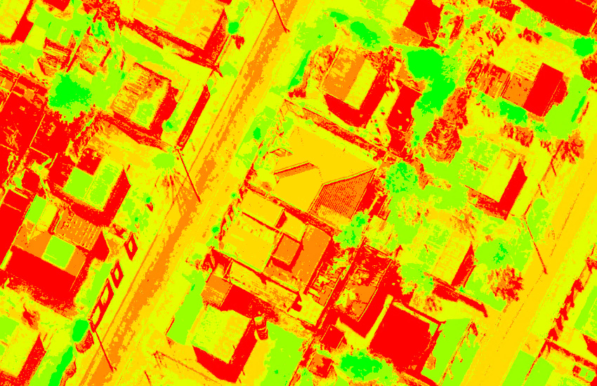
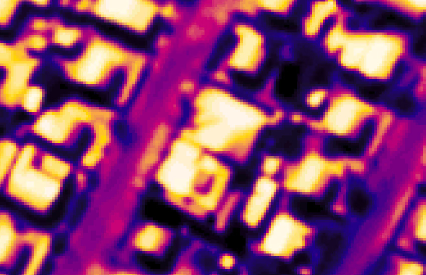
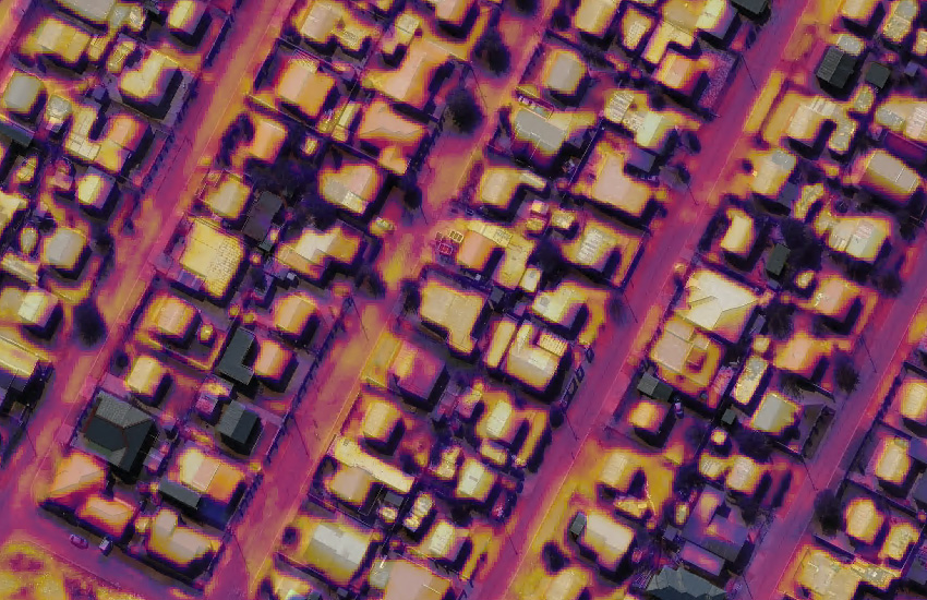
RGB Orthophoto, NDVI Index, Thermal Index
Product Data
Credits
Data captured by GyroLAG. Data can be used for demonstration and evaluation purposes only. Raw or derived data not to be sold.